Salamanca to Robliza de Cojos
Date: 11-05-2025
Distance: 34 km
Up: 389 m
Down: 383 m
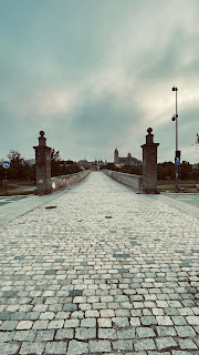
As you walk out of Salamanca and look back one last time, you see the beautiful bridge with the silhouettes of the cathedral and the large church rising above it. It was a lovely sight, even in the cold weather I was walking in. It was about 6 degrees Celsius, though fortunately dry, with a brisk wind. The others had set off 45 minutes earlier, but I like to take things easy in the morning—and I’d catch up with them along the way anyway 😀.
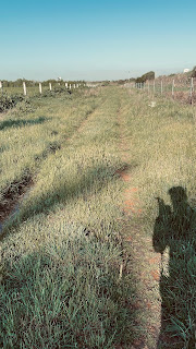
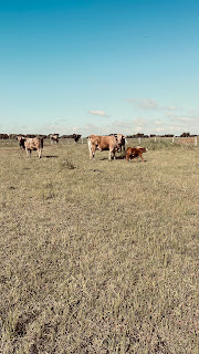
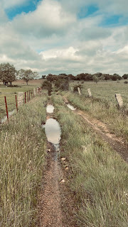
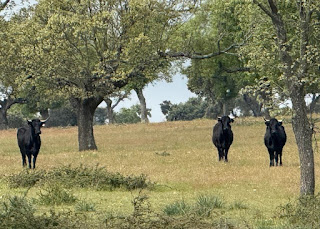
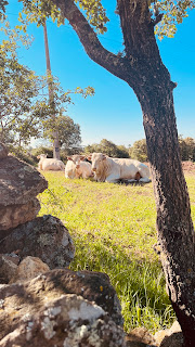
Thanks to the previous night's rain, the grass on the paths was soaking wet, so my shoes and trouser legs quickly got wet too. Later on, the sun broke through and it warmed up a bit. The route led mainly through farmland and across a large *finca* (estate), where I walked right among the cows and bulls. The bulls were huge and didn't look very friendly 😀.
After four hours of walking, I caught up with the others, and the four of us finished the day together. Upon arriving in the village, we found an *albergue* with two proper beds (with mattresses) and two separate floor mattresses. Being the oldest, I naturally got a bed!
We had a nice meal at the bar—both in the afternoon and evening—served by friendly people who warned us about the next day's leg. We would have to wade through a small river crossing the road, where the water was a meter and a half deep. Fortunately, they also told us about a detour to avoid that water. We’ll see what happens tomorrow!
Robliza de Cojos to San Muñoz
Date: 12-05-2025
Distance: 21 km
Up: 389 m
Down: 383 m
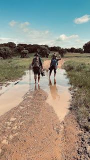
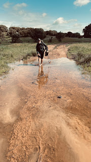
We started this morning by taking a detour, as the original route would have required us to wade through a stream where the water was one and a half meters deep—a result of high water levels caused by heavy rain. Another advantage was that the detour took us past a roadside restaurant where we could get a meal.
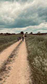
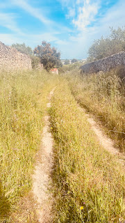
It was a beautiful route today, taking us through stunning scenery. There was very little asphalt and plenty of sandy paths; most of the way led across farmland. About a hundred cows followed us, full of curiosity. If all the routes on this Camino are this beautiful, I’ll be very happy. Just add a bit of sunshine, and it would be perfect! The village where we’re staying has a bar that serves food, so we didn't have to cook for ourselves.
San Muñoz to Alba de Yeltes
Date: 13-05-2025
Distance: 28 km
We had dinner at the bar last night. Normally they don't serve food there, but they must have felt so sorry for us that they whipped something up anyway. The barwoman said she’d called in her mother-in-law to do the cooking. So sweet!
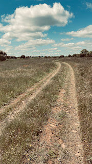
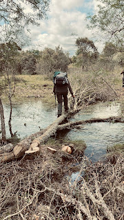
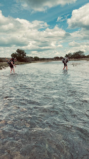
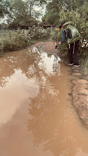
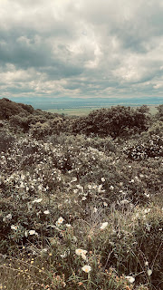
What a beautiful day today. It is almost unimaginably lovely here—endless rolling fields dotted with cows. Beautiful walking paths, streams and small waterways to cross, and gorgeous flowers and woods. It’s all so stunning that, upon arrival, you instantly forget having spent the last hour walking in the rain in your rain gear. We knew we had to cross a river today. The bridge had been washed away by heavy rains, and there was no replacement. So, after walking a good twenty kilometers, we suddenly found ourselves facing a ditch that was—truth be told—very wide and deep. It was a choice between crossing it or taking a five-kilometer detour, so off came the shoes, socks, and trousers, and we carried everything across. The water was cold, though! 😀 This wasn't the first time; there had already been two crossings where I could hop across on large stones, and one where a fallen tree spanned the water.
All in all, it was a wonderful day!!
The same thing happened in this village: we hadn't eaten all day—not even breakfast. It simply wasn't available! The barman's mother said she couldn't put a meal on the table right away, but it would be ready by six o'clock. We also had to figure out breakfast for the next morning, since the bar wouldn't open until 11 a.m. She offered to prepare some baguettes for us, with a choice of cheese, jam, or ham. Isn't that great?
Alba de Yeltes to Ciudad Rodrigo
Date: 14-05-2025
Distance: 27 km
Up: 240 m
Down: 384 m
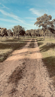
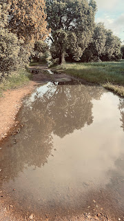
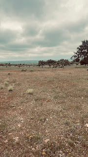
We set off again this morning, breakfasting on baguettes. It was heavily overcast but not too cold. We soon left the paved road and turned onto a dirt track. Fortunately, there wasn't much of an incline. Before long, we were walking through open countryside again, surrounded by cork oaks and cows. The paths here were full of large, deep puddles. At one point, we couldn't continue along the path because there was too much water, so we decided to climb over the fence and proceed through the pasture. After walking about thirty meters into the field, I saw three large black bulls charging straight toward us. Standing our ground didn't seem like an option, so we made a quick escape 😂
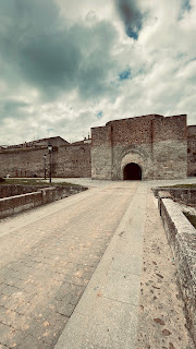
All in all, it was a pretty tough stage, what with the narrow trails, puddles, forest paths, and loose boulders. But we certainly enjoyed it! We arrived in Ciudad Rodrigo around 2:30 PM—a charming town with an old center where we stayed in a beautiful hotel.
Ciudad Rodrigo to Aldea de Obispo
Date: 15-05-2025
Distance: 29 km
Up: 535 m
Down: 515 m
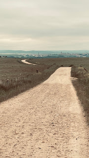
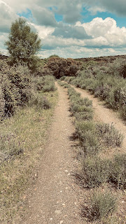
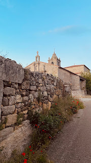
Afgelopen nacht slecht geslapen. Weet niet hoe het komt maar heb tot wel 2 uur wakker gelegen. Vermoeid op pad dus, het zou 31 km worden vandaag dus best wel aardig wat kilometers. Het zou gelukkig droog blijven. Veel over de weg gelopen met mooie vergezichten. Eindeloze glooiende heuvels met grasland en grazende koeien. Halverwege was een dorp waar koffie gedronken kon worden. Eten hadden ze niet dus nog maar even hongeren tot het volgende dorp. Uiteindelijk brak de zon door en werd het nog warm ook. Het dorp waar we sliepen was best wel aardig. Er was een bar en de burgemeester(es) liep met ons mee naar de albergue om de weg te wijzen. Mooi schoon gebouw met 4 douches en 4 toiletten. Ook hier was iedereen weer reuze vriendelijk. Vanaf 8 uur vanavond kunnen we in de bar eten. De burgemeester moest gelijk terug naar de bar want daar had ze een etentje San Isidorus of zo.
Morgen de grens over en Portugal in. Ondertussen toch al weer 477 km onderweg!
Aldea de Obispo to Pinhel
Date: 16-05-2025
Distance: 34 km
Up: 660 m
Down: 721 m
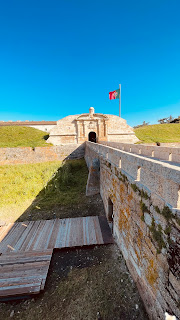
For the first time, the weather was lovely in the morning—a cool breeze, a clear blue sky, and a delightful temperature. I had planned to stay in bed a bit longer but decided to get up around 7 o'clock anyway. I was walking alone today because the two brothers were only going as far as Almeida; they felt the 34 km to Pinhel was too far and wanted to explore that town. So, I was on my own all day. That is probably why, just outside the village, I immediately spotted two wild boars rooting around in the ground. They were so engrossed that they didn't notice me at all; it wasn't until I made some noise that they looked up, got startled, and ran off. Midway through the route, I had to cross a small river. That wouldn't have been a problem in itself, but the river was at an elevation of 80 meters while I was walking at 600 meters. A drop of well over 500 meters, followed by a climb back up. Tough going!
By the way, the time here in Portugal is an hour behind. If you don't realize that, it’s quite strange to set off at a quarter to eight and find that, an hour later, it’s still a quarter to eight 😂
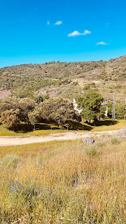
Another thing I’ve noticed is that the landscape here is much more hilly; in Spain, there were endless grassy plains with the occasional tree, whereas here there is much more vegetation. Beautiful in its own way, too!
Pinhel to Trancoso
Date: 17-05-2025
Distance: 32 km
Up: 877 m
Down: 631 m
Trancoso to Sernancelhe
Distance: 28 km
Up: 608 m
Down: 710 m
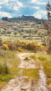
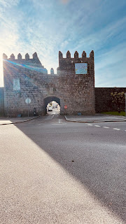
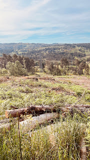
Today’s stage was supposed to be considerably less difficult than yesterday’s. It was, though there were still plenty of mountains—which is inevitable, given that Portugal is essentially one big mountain range. That doesn't make it any less beautiful, but it was far more strenuous than I had initially imagined. Just a little longer to go!
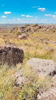
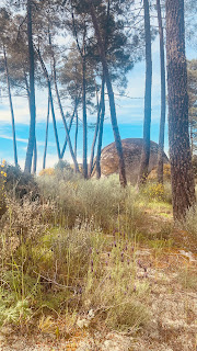
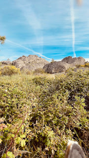
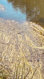
It’s quite remarkable walking up here on the mountain; there are huge boulders scattered about—some stacked up, others standing alone. It’s striking because, as soon as you walk a bit further down, they disappear from view. I’ve been trying to photograph a snake for days now. Every time I spot one—usually near water—it darts away. Today I finally succeeded, though you have to know what to look for, or you’d miss it. On this trip, I’ve already seen wild boars, deer, aquatic and land turtles, and many large birds of prey. It’s been a bit of a letdown, though; I expected to see more wildlife, given that it’s not exactly crowded here.
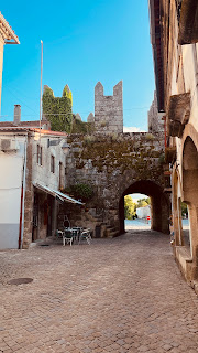
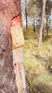
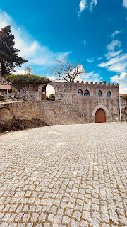
Today I passed through a forest where bags were hanging from all the trees. It was an odd sight, but it was likely for collecting resin; the bags were all half-full of it. I’m staying in a room in a former castle tonight—beautifully furnished and situated right atop a mountain.
Tomorrow is a short day—19 km. I hope it’s a bit less strenuous.
Sernancelhe to Moimenta da Beira
Distance: 19 km
Up: 279 m
Down: 402 m
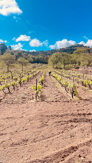
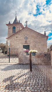
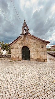
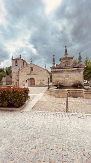
Today was shaping up to be a nice, quiet day without too many kilometers to cover. It was high time for that, too; I’m here for pleasure, but I feel like I’ve already lost 5 kg thanks to this grueling Camino starting from the Portuguese border. Along the way, I could really tell I was entering more inhabited territory—there were houses by the roadside here and there, not just trees and grapevines. There are chapels galore here, as Portugal is a God-fearing country; they are all very old, with 16th- or 17th-century structures being the norm.
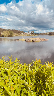
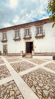
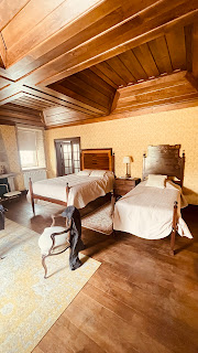
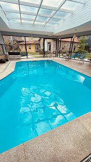
There was one steep hill right after setting off, but the rest of the route was fairly flat and mostly on asphalt—though that didn't make the scenery any less beautiful. At the lowest point, there was a lovely lake; it strikes me as the sort of place that would be a popular tourist spot in the summer. I was able to check into my hotel at 2:00 PM, and I was absolutely amazed by what I saw. It’s an 18th-century building featuring extensive woodwork inside, along with cabinets and furniture from the same era. The bedroom was stunning, too. It’s strange that this place isn't listed on Booking.com. There’s even a large backyard with an indoor pool. The people are incredibly friendly; I’m glad the daughter speaks English, because I can't make heads or tails of Portuguese.
After paying the €55 hotel bill, I had a quick question. Tomorrow is the toughest day of the trek—involving some very steep climbs and descents—so I wanted to know when the bus to Lamego runs. It turns out there’s a bus at 8:00 AM and another at 5:30 PM. However, she immediately said it wouldn't be a problem at all to just stay at the hotel all day. So, that’s exactly what I’ll do. A nice day off! 😀
By the way, you can follow this specific Camino route on its own dedicated website: http://caminotorres.com/etapas. Happy reading; you can use Google to translate the pages.
Moimenta da Beira to Mesão Frio
Distance: km
Up: 903 m
Down: 1078 m
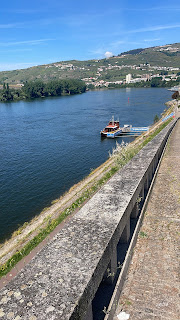
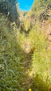
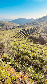
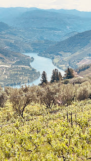
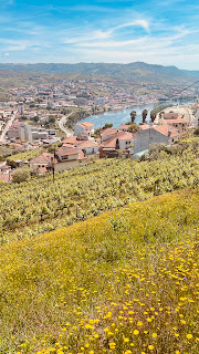
I knew it was going to be a tough day, but the sheer intensity of it really caught me off guard. I had started early because it was going to be hot—around 26 degrees. It began with a gentle, sloping path towards the Douro, taking me steadily down to an elevation of about 60 meters. After that, I enjoyed a lovely stretch walking along the quayside, following the flow of the river. The scenery here is stunning: the river on one side and vineyards covering the hillsides on both banks. Eventually, my path took a sharp right turn up a mountain—a 450-meter climb. The trail was heavily overgrown, and with the hot sun at my back, the ascent was so steep that I had to walk constantly on the balls of my feet just to make headway; planting my feet flat was impossible. Mind you, I’m not complaining—I’m doing this voluntarily, after all—but there are limits! 😀
After a while, I reached the top, and the path became easier to walk. It’s nice that there are a few more villages—read: bars—along the route now, so you can stop for a Coke every now and then. I arrived late—not until 4 o'clock—which hasn't happened to me before on this Camino. I hope things go a bit better tomorrow; there’s another hill on the agenda then, with a 430-meter climb. Fortunately, just the one!
Mesão Frio to Amarante
Date: 22-05-2025
Distance: 26 km
Up: 764 m
Down: 939 m
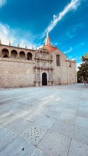
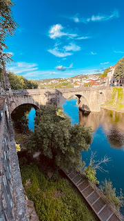
Unlike last year, I’m having absolutely no trouble with my feet this time around. I had some minor muscle issues before I left, but I seem to have walked them all out. I did wake up last night with a sharp pain above my knee—likely an overworked tendon. I can manage the next three days, though, so it just needs to behave itself. As for Amarante, it’s a large town—lots of industry on the outskirts and only a small historic center. I stopped by the church to get my stamp before heading to the apartment I’d booked.
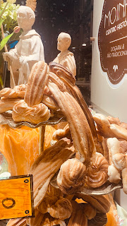
Still haven't run into any other hikers! They make some strange pastries here, by the way.
Amarante to Felgueiras
Distance: 21 km
Up: 677 m
Down: 468 m
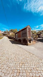
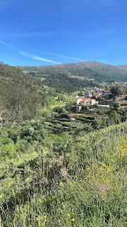
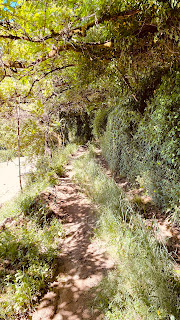
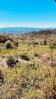
And just when you think the hills are behind you and the terrain is leveling out, you get a rude awakening. I slept in a bit this morning and started off with coffee and toast at a café opposite the apartment. I then set out, and the path immediately began to climb steeply. I headed uphill in high spirits and with a smile on my face, eventually collapsing onto the terrace of a café in a mountain village after an hour and a half. The first 12 km were still uphill, but the route flattens out after that. I pressed on with good spirits and successfully completed the whole stretch. Today, the real challenge wasn't the incline, but the temperature. Buienradar had forecast 27 degrees, and that’s exactly what it felt like. Felgueiras is a decent-sized town but has few tourist attractions; there is no historic center or old architecture. I did, however, have a delicious meal at a barbecue restaurant this evening.
Felgueiras to Guimarães
Date: 24-05-2025
Distance: 20 km
Up: 414 m
Down: 514 m
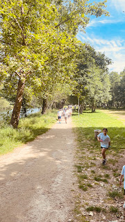
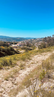
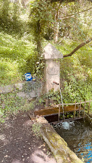
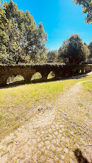
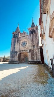
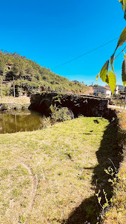
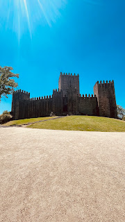
I’m walking through more villages and on more asphalt roads now. Occasionally, I come across an old Romanesque bridge or a medieval church. There are also castles here and there that you can visit, but I keep walking—partly because I don’t have the time, but also because I’m not really interested in exploring them in depth. The last 6 kilometers were along a cycle path that wound beautifully through the landscape and led right into the city center. It was a lovely, flat path with plenty of shade.
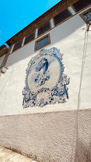
Guimarães is a fair-sized city with an old center. That historic core is packed with outdoor terraces and teeming with tourists. Don’t ask me what brings them here; there’s just an old church—nothing particularly special—and a few other old buildings. It probably has something to do with the church, as the guidebooks talk a lot about San Tiago, and the main square is named Plaza de San Tiago. Santiago is the Spanish name for James the Greater, one of the apostles.
When I walked into the city this afternoon, I spotted a large Lidl. Tomorrow is Sunday, and nothing will be open early for breakfast, so I bought a bag of Magdalenas (small sponge cakes) to eat instead. Delicious! For a change, I had pizza for dinner tonight, and now I’m about to hit the sack.
Guimarães to Braga
Distance: 22 km
Up: 482 m
Down: 466 m
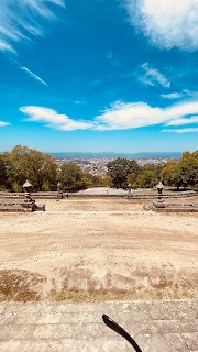
It was the final day of this year's Camino, featuring one last 350-meter climb right around the halfway mark before walking into Braga. It was already quite warm this morning, and there was no wind. The first 10 km were supposed to be fairly flat before the ascent began. It was a continuous stretch of villages, and the road was very busy—unusually so for a Sunday morning. Throughout this entire Camino—starting from Córdoba—I had encountered maybe five or six other walkers. Today, however, hundreds were coming towards me. 😀 It turned out to be a family hiking day in the region; countless families with children and strollers were heading my way. In the Netherlands, 99% of people walk on the right side of the road. Not here, though; they preferred the left—my side—over the right, and certainly wouldn't move out of the way. It was quite frustrating. After that, I struggled a bit with the climb in the heat. I arrived at the top drenched in sweat, but rewarded with a beautiful view of Braga.
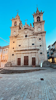
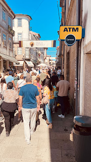
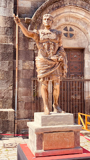
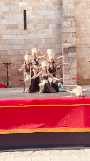
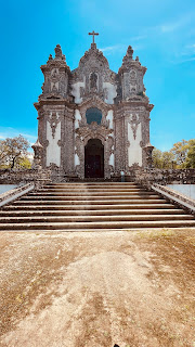
Upon arriving in Braga, I discovered an annual festival was underway: the *Braga Romana* festival, honoring their Roman ancestors. The streets were packed with market stalls, people dressed as Romans, and song-and-dance performances around the basilica. What a celebration! It was hard to make any headway, and I was relieved to reach my apartment after half an hour. Now, time to rest and sleep in tomorrow before taking the bus to Porto.
The Camino Torres is a beautiful route, though you definitely need a GPS to avoid getting lost. The towns and villages along the way are reasonably well-equipped to cater to hikers in terms of food and accommodation. It was my first time hiking in Portugal, and I really enjoyed the experience. The people are friendly—just like in the Spanish villages! The route generally follows fairly accessible paths; during periods of heavy rain, you might occasionally have to cross a small stream or brook, but nothing serious. There are few to no other hikers on this Camino, yet it is a truly beautiful one!